Getting Around Boston in 2026: The Complete Cost and Access Guide Before You Go
From the T to Bluebikes, here's what you actually need to know—and spend—to navigate the city.
From the T to Bluebikes, here's what you actually need to know—and spend—to navigate the city.
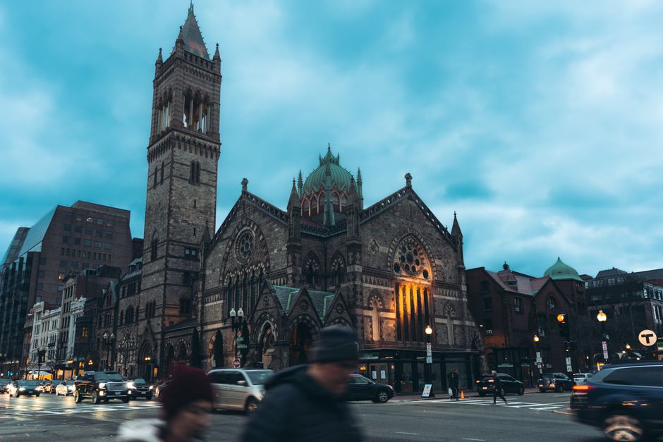
Whether you're commuting from Somerville to the Financial District or hopping between Beacon Hill and the Seaport, Boston's transportation landscape has shifted enough that outdated assumptions about getting around can leave you frustrated—and overspending.
The MBTA remains the backbone of the system. A standard CharlieCard—available at any T station entrance—currently costs $2.75 per ride. If you're a regular commuter, the weekly LinkPass at $35.25 covers unlimited travel on buses, the Red, Green, Orange, and Blue Lines, plus most commuter rail zones—a genuine bargain if you're using the system five or more times weekly. Monthly passes run $100.50 for local zones, scaling up significantly if you're traveling from the suburbs. The real gotcha? The system's chronic service delays mean building in buffer time remains essential, particularly on the Orange Line corridor running through Ruggles and Back Bay during evening rush hours.
Bluebikes have become the city's overlooked commuting workhorse. A casual single ride costs $3.50, but the annual membership ($199) makes sense for regular users—unlimited 45-minute trips with no overage fees if you dock punctually. The network spans Downtown Boston through Cambridge and into neighborhoods like Jamaica Plain, making it viable for last-mile connections. Summer maintenance occasionally reduces station availability, so checking the app before heading out prevents frustration.
Rideshare apps remain expensive for daily commuting. A typical Uber or Lyft trip from Back Bay to Cambridge runs $18–$28 depending on demand, making the economics work only for occasional trips or late-night travel when transit runs limited service.
Parking in Boston's core neighborhoods—Beacon Hill, the Seaport, the Back Bay—can exceed $25 daily at private lots, and street parking is heavily restricted with permit requirements. Unless you're staying in outer neighborhoods, ditching your car entirely makes financial sense.
The real access question centers on planning. Download the MassDOT Transit app before arriving; it integrates MBTA real-time data with walking directions. Factor service alerts into timing, particularly weekends when maintenance often closes entire rail lines. For those with mobility concerns, elevator access at T stations remains inconsistent, particularly on older Green and Red Line stops—call ahead or check the MBTA accessibility guide.
Bottom line: the T-plus-Bluebikes combo remains Boston's most cost-effective transportation matrix for regular users. Plan conservatively for timing, keep your CharlieCard loaded, and embrace the reality that Boston's infrastructure—while improving—still rewards flexibility.
This article was compiled by AI and screened before publishing. See our editorial standards.
How does this story make you feel?
Spread the word
About this article
Published by The Daily Boston
Daily brief
Free, in your inbox before 7am. Weekdays.
More in lifestyle