How Boston's Commute Routes Reveal the Soul of Our Neighbourhoods
From the Orange Line's Stony Brook corridor to the Greenway's morning cyclists, the way Bostonians move through the city tells the real story of who we are.
From the Orange Line's Stony Brook corridor to the Greenway's morning cyclists, the way Bostonians move through the city tells the real story of who we are.
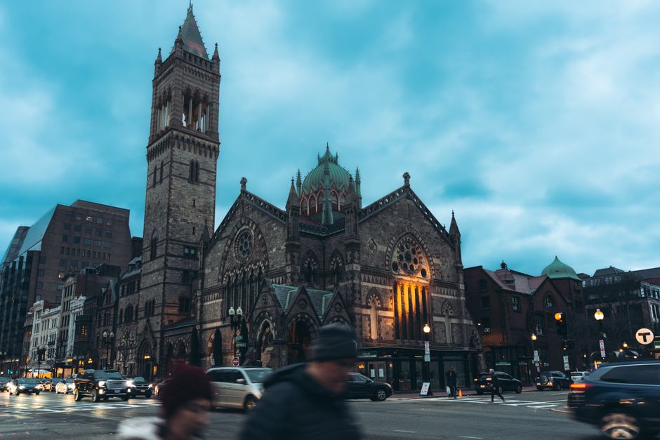
There's a particular energy that emerges on the Red Line platform at Charles/MGH station at 7:45 a.m. on a Tuesday. Medical students clutching coffee cups crowd near the doors alongside downtown workers, their conversations layering Spanish, Mandarin, and Portuguese over the screech of incoming trains. This is Boston's circulatory system at work—and it's far more revealing than any neighbourhood map could ever be.
The MBTA carries roughly 400,000 riders daily across the region, but the real story of Boston's character lives in the micro-communities that form along these transit corridors. Take the Orange Line's journey through Jamaica Plain and Stony Brook. Here, the 15-minute ride becomes a cultural barometer. At Stony Brook station, you'll see the neighbourhood's Dominican and Puerto Rican heritage reflected in the bodega clusters on Centre Street, where commuters grab café con leche before heading to Beacon Hill offices. By the time the train reaches Forest Hills, the demographic shifts again—younger professionals, artists, and families priced out of closer-in neighbourhoods have claimed this stretch, transforming formerly quiet residential blocks into Boston's unexpected creative hub.
The Green Line B branch tells another story entirely. From Kenmore through Allston-Brighton, the line moves through the beating heart of student Boston, where nearly 60,000 university students flow through neighbourhoods each semester, creating a temporary but transformative cultural layer. The Commonwealth Avenue corridor—lined with vintage record shops, student-friendly restaurants, and community bulletin boards—exists almost exclusively because of this transit connection.
But perhaps the most telling commute is one that doesn't require public transit at all. The Rose Kennedy Greenway, Boston's reclaimed urban space, has quietly become a neighbourhood-connector unlike any other. On any given morning, you'll see Beacon Hill residents cycling toward Fort Point, North End families walking to Downtown Crossing, and Chinatown workers moving through the Harborwalk. This car-free commute has literally stitched the city's fractured neighbourhoods back together.
Cycling advocacy groups report a 40% increase in bike commuting over the past three years, particularly along the Emerald Necklace parks system connecting Jamaica Plain, Roxbury, and the South End. These aren't just traffic statistics—they're evidence of shifting community values and how Bostonians increasingly define neighbourhood identity through sustainable movement.
The most interesting thing about Boston's commuting culture is what it reveals: we're a city of layers, where transportation corridors function as genuine community arteries. Your route to work isn't neutral. It's a daily assertion of which Boston you belong to.
This article was compiled by AI from the sources linked above and screened before publishing. See our editorial standards.
How does this story make you feel?
Spread the word
About this article
Published by The Daily Boston
Daily brief
Free, in your inbox before 7am. Weekdays.
More in lifestyle