Your Complete Guide to Getting Around Boston Like a Pro This Summer
Master the T, bike lanes, and ride-shares to unlock the city's best neighborhoods and hidden gems.
Master the T, bike lanes, and ride-shares to unlock the city's best neighborhoods and hidden gems.
Summer in Boston means outdoor patios in the Seaport, live music in the Greenway, and neighborhood exploration—but only if you know how to navigate the city efficiently. Whether you're a newcomer or a longtime resident ready to break routine, here's your practical roadmap to moving around Boston like you own the place.
The MBTA: Your Foundation
The T remains your most reliable workhorse. A monthly LinkPass costs $84.50 and gives you unlimited access to buses and subway lines. The Red Line connects Downtown Boston to Cambridge and South Boston; the Green Line branches toward Brookline and Allston. Pro tip: download the MassLive Transit app for real-time updates—delays are common, but knowing them ahead saves frustration. During summer, the system runs late-night service on weekends, making it feasible to catch shows at House of Blues or Royale in the Lansdowne Street corridor without worrying about midnight departures.
Biking Is Booming
Bluebikes, Boston's bike-share system, now has over 5,000 bikes across 500 stations. A day pass costs $12; annual memberships run $99. The Emerald Necklace path through the Fens into Jamaica Plain is stunning. For longer trips, the new protected bike lanes on Massachusetts Avenue and the Cambridge Greenway make reaching Harvard Square or Somerville neighborhoods genuinely pleasant. Serious cyclists appreciate the Minuteman Bikeway, which stretches 10.5 miles into Arlington and Lexington.
Rideshare and Flexibility
Uber and Lyft operate citywide with typical base fares around $2.50 and per-mile charges of $1.50–$2. Pool options cut costs by 30–40 percent if you're not rushed. For airport runs, the Silver Line bus from Downtown Crossing to Logan Airport takes 40 minutes and costs just $2.40—unbeatable if your flight isn't for several hours.
The Car-Free Exploration Strategy
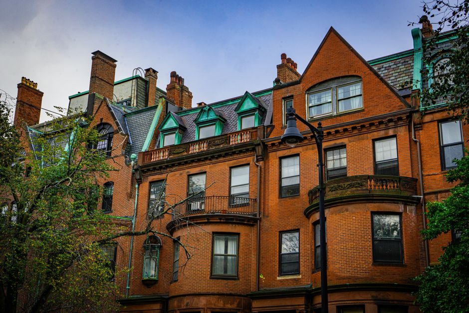
Combine modes intentionally: Take the T to Copley Square, bike to Fenway, then rideshare home after dinner on Lansdowne Street. The Back Bay and Beacon Hill neighborhoods are walkable and reward pedestrian exploration. Walk the Harborwalk from the Aquarium toward the Seaport District—three miles of waterfront access with minimal effort.
This summer, stop defaulting to driving solo on Storrow Drive or hunting parking near Newbury Street. The combination of a monthly T pass, a Bluebikes membership, and strategic rideshare use costs under $130—less than three days of parking downtown. Boston's geography rewards curiosity. Use these tools to access it.
This article was compiled by AI from the sources linked above and screened before publishing. See our editorial standards.
How does this story make you feel?
Spread the word
About this article
Published by The Daily Boston
Daily brief
Free, in your inbox before 7am. Weekdays.
More in lifestyle