How Boston's Commute Routes Reveal the Soul of Neighbourhoods
From the Red Line's quirky stops to cobblestone alleys, the way Bostonians move through their city tells the story of who they really are.
From the Red Line's quirky stops to cobblestone alleys, the way Bostonians move through their city tells the story of who they really are.
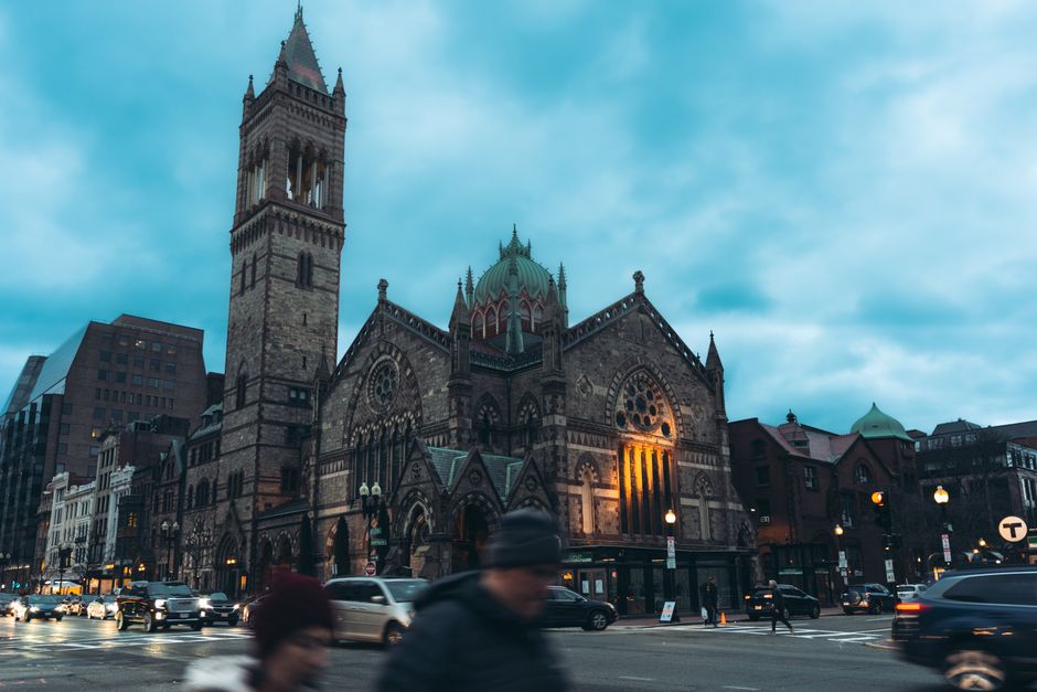
Skip the glossy tourism guides. If you want to understand Boston's neighbourhoods, forget the Freedom Trail and ride the transit system like a local. The MBTA isn't just infrastructure—it's a living archive of community character, neighbourhood identity, and the city's evolving cultural landscape.
Take the Red Line's journey through Dorchester and Mattapan. Commuters boarding at Fields Corner encounter a thriving Vietnamese and Cape Verdean community, with bakeries and restaurants spilling vitality onto the platform itself. The neighbourhood's identity literally rides the rails: passengers hear multiple languages, smell jasmine and cinnamon, see community notices in five languages posted on station walls. This isn't incidental—it's the essential texture of contemporary Boston. A fifteen-minute ride south reveals how the city's demographics and cultures layer themselves across transit corridors, each stop marking distinct community territories.
Meanwhile, the Orange Line through Jamaica Plain offers a different story entirely. Here, the commute becomes a walking experience. Stony Brook Station anchors a neighbourhood where residents deliberately eschew cars: the Jamaica Plain Neighbourhood Development Corporation reports that over 40% of households here don't own vehicles, preferring the intimacy of pedestrian life. Centre Street becomes the social backbone—commuters exit trains directly into a ecosystem of independent bookshops, community gardens, and long-established institutions like the Footlight Club. The commute itself becomes an extension of neighbourhood belonging.
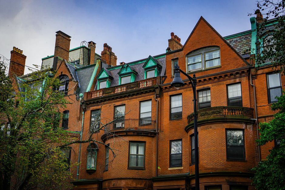
Even the Green Line tells neighbourhood tales. The E branch's terminus at Heath Street sits in a Jamaicaway neighbourhood where tree-lined streets and Victorian architecture create an entirely different commuting psychology. Here, riders often bike or walk to the station, embedding the journey into daily neighbourhood rhythm. The commute isn't transportation—it's participation in a particular Boston community aesthetic.
What makes these commute routes genuinely revealing is how they expose real estate economics, cultural clustering, and accessibility. The Roxbury Crossing station, reopened in 2018 after decades, became catalytic—not because it moved people faster, but because it reconnected a severed neighbourhood to the broader city. Commute routes document gentrification, community resilience, and who can afford to live where.
For newcomers confused by Boston's bewildering geography and fractious neighbourhoods, the transit system offers clarity. Ride it intentionally. Notice what's being sold at corner stores at each stop. Listen to conversations. Watch who boards where. The neighbourhoods don't reveal themselves through postcards or websites. They reveal themselves through the specific textures of everyday movement—and Boston's transit system is where that movement gets honest.
This article was compiled by AI from the sources linked above and screened before publishing. See our editorial standards.
How does this story make you feel?
Spread the word
About this article
Published by The Daily Boston
Daily brief
Free, in your inbox before 7am. Weekdays.
More in lifestyle